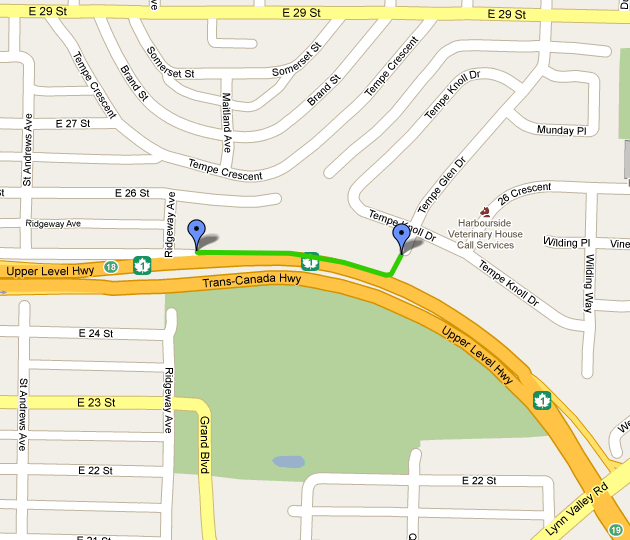
File:Tempe Glen to 25th trail.png
Revision as of 08:29, 12 May 2010 by imported>Jay MacDonald (Map of trail along the Upper Levels between Tempe Glen and 25th St in CNV)
No higher resolution available.
Tempe_Glen_to_25th_trail.png (630 × 540 pixels, file size: 108 KB, MIME type: image/png)
Map of trail along the Upper Levels between Tempe Glen and 25th St in CNV
File history
Click on a date/time to view the file as it appeared at that time.
| Date/Time | Thumbnail | Dimensions | User | Comment | |
|---|---|---|---|---|---|
| current | 14:43, 17 August 2022 | | 630 × 540 (108 KB) | Maintenance script (talk | contribs) | == Summary == Importing file |
You cannot overwrite this file.
File usage
The following 2 pages use this file: