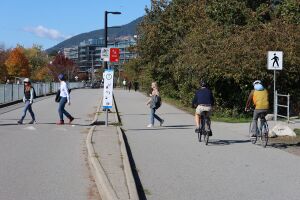
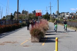
Spirit Trail 2023
Spirit Trail Photo Project
Introduction
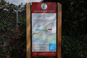
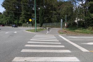
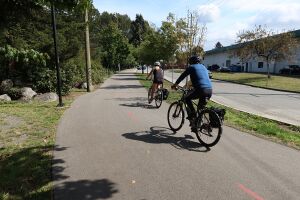
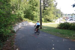
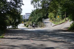
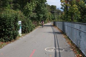
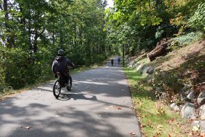
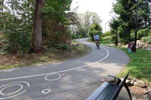
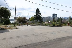
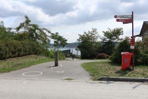
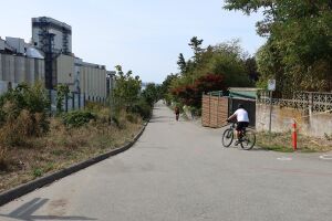
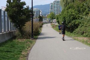
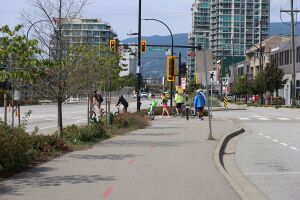
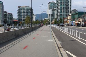
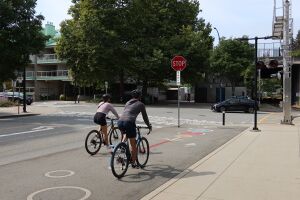
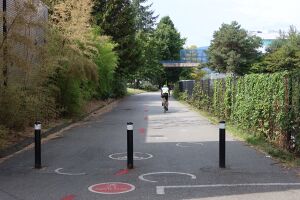
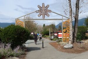
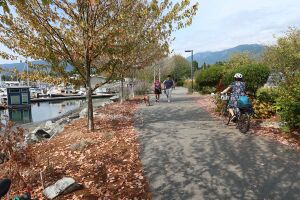
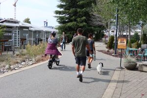
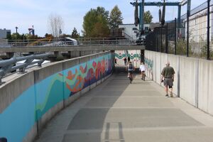
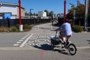
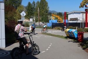
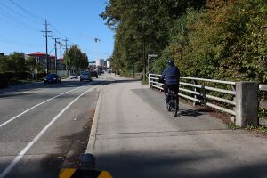
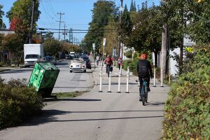
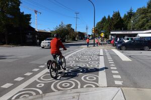
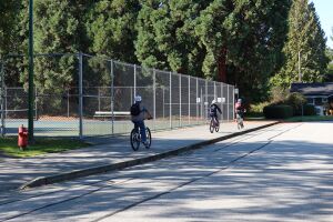
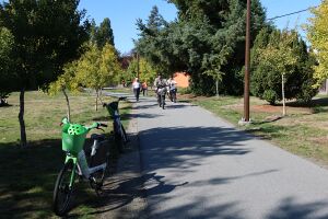
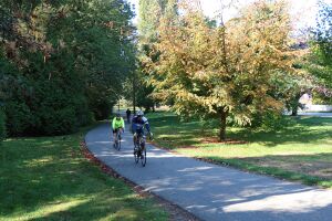
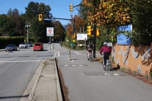
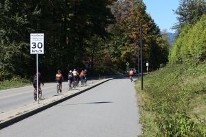
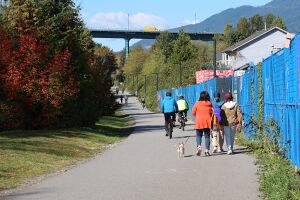
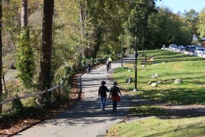
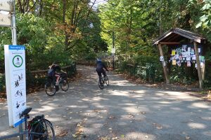
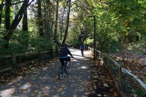
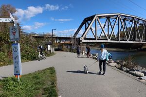
In September 2023, I did a photo documentary of the North Vancouver Spirit Trail.
North Shore bike infrastructure still has a long way to go before catching up with the Netherlands (or even Downtown Vancouver), but I want to highlight some of the infrastructure we have.
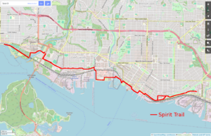
The trail is a multi-use path (MUP) that eventually? will connect Deep Cove to Horseshoe Bay. Currently the trail is mostly complete in the City and parts of District of NorthVan.
Leaving aside issues with MUPs (not so good for fast cycling, mixing people traveling at different speeds, etc), the trail provides a safe, connected, east/west route through the lower North Shore from Park and Tilford Mall to Ambleside Park. I know one person who will only bike on a fully protected lane like the Spirit Trail, and often see parents biking with their kids along it, often transporting them on cargo bikes.
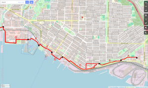
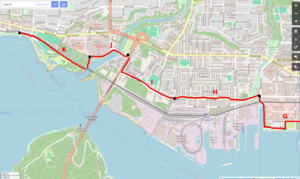
I broke the trail into 11 sections (labeled A to K). Photos are from September 2023 and organized travelling from east to west.
For some more info about the trail see:
Rona to Bridge over 3rd Street
Section A. The East end of the Spirit Trail currently ends/begins behind Park and Tilford Mall and Rona at Gladstone Ave. There is also a short section for the new bridge over Lynn Creek, but I am not counting that since it is not yet connected to the main trail.
The trail winds up a little hill which is fun to bike down.
This section passes Heywood Street, which provides a north/south street connection to East Keith Road.
Moodyville Park
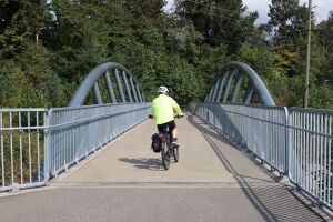
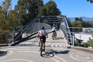
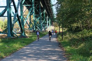
Section B. This section of the Spirit Trail crosses 3rd Street on a bridge and passes through Moodyville Park. It provides a safer alternative to the 3rd Street Hill or Low Level Road. The bridge provides a view point for the train yard, Burnaby Mountain, and our local coal pile.
2nd Street to St Georges
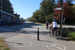
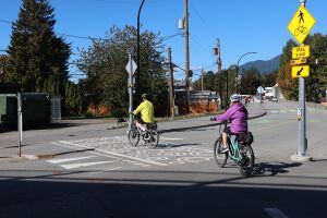
Section C. This portion of the Spirit Trail is mostly on side streets between Moodyville Park and St David's Ave and there are a few different routes you can take, including a suspension bridge that is only suitable for walking. West of St Davids Ave it is the standard separated MUP.
Travelling through this area you can hear the hum of the granaries and the noise of new condos being built. A few solitary houses remain from the old Moodyville neighbourhood.
Between St Patricks and St Georges Avenues the trail passes six brew pubs in the Brewery District.
Shipyard and Quay
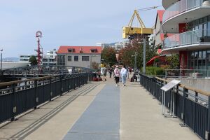
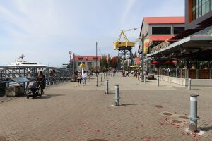
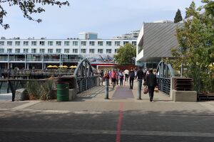
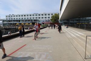
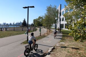
Section D. The Shipyard is a very active public space and this portion of the Spirit Trail, while having beautiful waterfront views, can be a bit hectic to bike through.
The Friday Night market is very popular in the summer and many events have a bike valet.
Depending on the foot traffic, you may have to slow right down when cruising by the Polygon Gallery. I generally use the new bike lane on Esplanade Street to avoid this section of the Spirit Trail and re-join the trail at Chesterfield Ave.
Quay to Waterfront Park
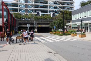
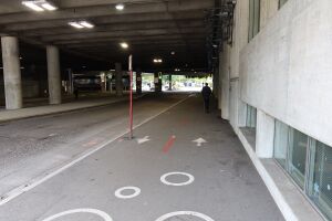
Section E. Starting at the Lonsdale Quay, this section of the Spirit Trail passes the Lonsdale Bus Loop and Seabus terminal and continues behind Waterfront Park.
The recent bus loop upgrade did not improve the bike parking much and only added some uncovered bike racks. But some bike boxes were later installed just west of the Seabus terminal.
For a more scenic route you can go south on Chesterfield Ave and meander along the waterfront through the park.
Mosquito Creek Marina
Section F. Probably the most expensive section of the Spirit Trail to build, but the connection through the Squamish Nation's Mosquito Creek Marina is worth it (and shortens my commute). This section can be very busy with foot traffic on a sunny weekend.
Before this section was built, people needed to head up Forbes Ave and travel along 3rd and 2nd streets.
The main physical impediment to building this section was the marina boat lift. The solution was to route the trail under the boat lift, requiring the construction of a dam. A window in the dam allows you to look through the water at high tide.
Harbourside Drive / Kings Mill Park
Section G. The Harbourside section connects the Marina to 1st Street. A north/south MUP along Bewicke Ave provides a connection from the Spirit Trail to the 2nd Street bike lane and Keith Road hill.
This portion passes the Kings Mill Dog Park, Thomas Haas Chocolate shop, and the Seaspan shipyard where coastguard and navy ships are under construction. If you stop you may see some herons fishing in McKay Creek.
The trail was connected with the addition of a bridge over the train tracks at MacKay Rd. The students at Bodwell High chipped in some money for the bridge, since it allowed them a shorter route to walk to the Capilano Mall.
Currently the trail is detoured along Harbourside Drive for two blocks while the North Harbour development is being constructed.
Norgate (1st Street to Welch)
Section H. The Norgate section is one of my friend's favourite parts of the Spirit Trail, since most of it is completely separated from the road and winds through a green space. However, if you want a more direct route you can take Welch Street instead.
The Spirit Trail connects to a north/south MUP on MacKay Road that provides access to Capilano Mall. West of MacKay Road you are in the District of NorthVan.
Welch Street to Lions Gate Bridge
Section I. This section of the Spirit Trail passes through the Capilano Reserve and is mostly beside Welch Street. The district added speed bumps to slow down cyclists, which results in a lot of roadies favouring Welch Street instead.
There is a connection near the RV Park to the Lions Gate Bridge, and Stanley Park.
Unfortunately the old sewage plant under the bridge is still operating and does not smell very good on a hot day. With all the delays, the new plant (south of Norgate) won't be operating for a few more years.
Welch Street Bridge and Park Royal
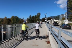
Section J. The new MUP along the Welch Street Bridge connects the North Vancouver District to the West Vancouver sections of the Spirit Trail. It also provides access to the Park Royal Shopping Mall.
From the bridge you can watch people fish in the Capilano River and take photos of the sun setting behind the railway bridge downstream.
Ambleside Park
Section K. The West end of the Spirit Trail passes under the railway and connects to Ambleside Park. The portion between Park Royal and the railway can be very busy with people heading to the Ambleside Dog Park.
At Ambleside Pier you can watch people sailing dinghies from the local sailing club. You will occasionally see them capsize, which is mostly intentional practice.
The trail somewhat continues past 14th Street, but it becomes a one way parking lot west of 14th Street, so I consider this the end for now.
Future of the Spirit Trail
In the last 15 years I saw the Spirit Trail go from a concept map, to short disconnected sections, to the fully connected path that it is now. I hope to see the District of North Vancouver complete the Spirit Trail East Extension to Deep Cove in a few years.
I don't know when we will be able to travel from Deep Cove to Horseshoe Bay along a finished Spirit Trail, but I hope one day that the benefits of the existing section will be extended across the entire North Shore.
