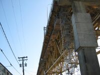
Iron Workers Memorial (Second Narrows) Bridge
Background
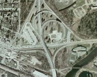
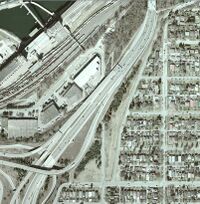
In 1992, the Cassiar Connector was constructed and the Ironworkers Memorial Bridge was modestly refurbished (lighting changed, median installed and barriers/railings installed between the traffic and the sidewalks, narrowing the sidewalks but making it less heart-stoppingly perilous to ride in a stiff crosswind). At the time, cycling advocates asked for wider sidewalks and better access to the bridge. The result was somewhat better access on the north side of the bridge and the situation we have now on the south side.
As part of the consultation for the Gateway Program (introduced in 2006), advocates asked the province to upgrade cycling and pedestrian access on the south side by, among other things, providing a connection between the east and west sidewalks. This could be either under the bridge (as at the south end of Lion’s Gate) or over the highway, connecting to the elevated sidewalk/bike path on the east side and therefore needing a ramp structure only on the west side. This request was deemed “beyond the scope of the project”, which ended just short of the bridge head.
In 2015, the sidewalks on the bridge were widened and higher fencing installed, along with minor adjustments to the Dollarton off-ramp crossing at the northeast end. Although the sidewalks were widened to 2.5 m from 1.2 m, the resulting clear width does not meet guidelines for bi-directional use. Pedestrians may use either sidewalk, however, cyclists are directed to use the east sidewalk to travel northbound and the west sidewalk to travel southbound. Some signage has been installed to deter wrong way movements, however, there is some remaining "yield to oncoming cyclists" signage remaining and additional positive guidance required on both approaches.
Action
On October 25 2010 a joint committee was formed between the North Shore, Vancouver and Burnaby committees to formulate a plan for moving forward. All VACC (now HUB) members were welcome to attend the monthly meetings.
- MEETING MINUTES
Media:2nd Narrows Bridge Minutes Oct 25 2010.pdf
Media:2nd Narrows Bridge Minutes Nov 22 2010.pdf
Media:2nd Narrows Bridge Minutes Jan 24 2011.pdf
Media:2nd Narrows Bridge Minutes Feb 28 2011.pdf
Media:2nd Narrows Bridge Minutes Mar 28 2011.pdf
Media:2nd Narrows Bridge Minutes 09 May 2011.pdf
Media:IWMB minutes May 30 2011.pdf
Media:2nd Narrows Bridge Minutes 27 June 2011.pdf
Media:2nd Narrows Bridge Minutes 08 Aug 2011.pdf
Media:Second Narrows Bridge Minutes Oct 3 2011.pdf
Media:2nd Narrows Bridge Minutes 07 Nov 2011.pdf
In August of 2019, in response to complaints regarding sidewalk use and wayfinding, the Ministry's Operations Manager reiterated that in order for a lane or path to be used in both directions by cyclists, the minimum width must be three metres, which is why the ministry installed signs showing the preferred direction of travel across the bridge for cyclists (i.e. northbound east side, southbound west side).
They acknowledged correspondence from cyclists using the bridge, complaining about the links on both ends of the structure, some of which belong to the Ministry and some to municipalities. The writers complain about the additional riding they must do when heading home to East Vancouver and Burnaby if they take the southbound west side sidewalk. Often these riders will take the east sidewalk, for the convenience of the connection to road network on the southeast corner of the bridge.
As it has been a few years since the signs were last reviewed, District staff are reviewing the current signs and their locations. They will then ask their Traffic Operations engineering group to review the signing on the bridge sidewalks, to determine if they need to be updated or changed to different signs or any new signs need to be added. These may include possible speed limits on the sidewalks of the bridge, "Bell or Yell when overtaking" signs, one way signs if deemed appropriate, or other alternatives.
The Ministry is currently designing the Main/Dollarton interchange as part of the Lower Lynn interchanges project. The cycling connections will be changing as the project is constructed. They will also be including way-finding signs as part of the design and the Project Manager will be reviewing the examples provided by HUB North Shore as part of their review.
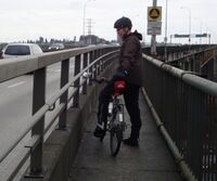
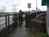
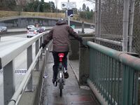
Old Bridge Sidewalks
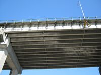
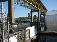
Photos at the bottom right show the old bridge sidewalks prior to the sidewalk widening project that was completed in 2015.
