Group Rides: Difference between revisions
imported>Peter Scholefield |
imported>Peter Scholefield |
||
| Line 10: | Line 10: | ||
[[File:Group_ride_photo_at_Cleveland_dam_2011-07-21_.jpg]] |
|||
[[File:]] |
|||
== Group Ride: 28 April, 2011 == |
== Group Ride: 28 April, 2011 == |
||
Revision as of 19:16, 22 July 2011
Group Ride: 21 July 2011
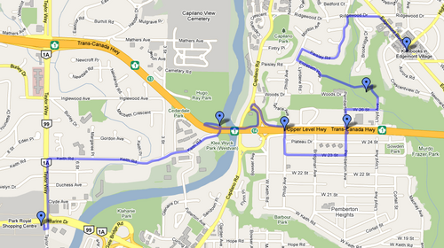
-  meet Peter Scholefield at 7:00 p.m. Thursday evening at the White Spot parking lot at the SW corner of Taylor Way and Marine Drive in West Vancouver.
-  Route: WV White Spot-Taylor Way-Stevens Drive-Glenmore Drive-Cleveland Dam-Capilano Road-WV White Spot (12 km, 50 minutes).
-  Featured bicycle infrastructure en route: West Van's only designated bike lanes on Steven's Drive; multi-purpose path across the top of the Cleveland Dam;
   new bike lanes on Capilano Road; and new bicycle infrastructure at the north end of the Lions Gate Bridge (work almost completed but still in progress).
Summary of the ride
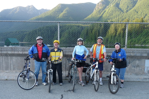
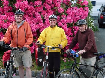
Diane Murray, Fiona Walsh and myself left the White Spot shortly after 1900 on nice summer evening. We proceeded up Taylor Way then along the bike lane on Stevens Drive and at its intersection with Rabibit Lane, Bob and Jain Verner joined us. We continued along Stevens Drive and then turned right following the bike lane on Deep Dene Road and then we turned right again on Glemore Drive. About 100 m along Glenmore drive we found the entrance to the unpaved pathway leading down to the Cleveland dam. This path is is shown on Google maps. After having our photo taken (see below) on the dam, we rode down Capilano Road noting that, north of Highway 1 where there are currently no bike lanes, it seemed that the road was wide enough for bike lanes or sharrows. We rode in the new bike lanes from highway 1 down to Fullerton avenue where the bike lne ends and ther is a sgn point to the right along Fullerton.
Group Ride: 28 April, 2011
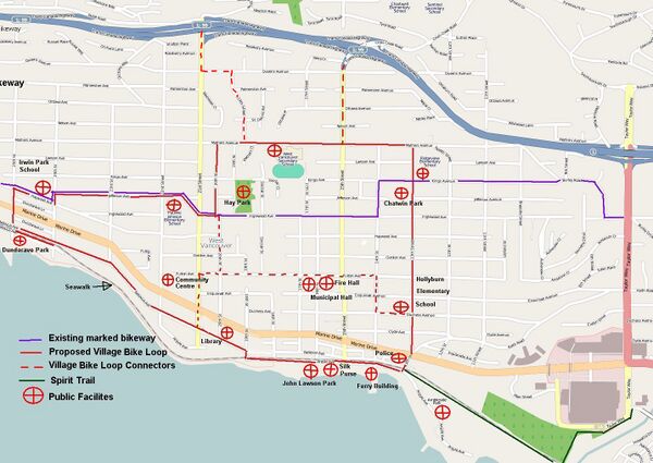
Meet at 6:30 p.m. at the west end of the Spirit Trail in West Vancouver (13th Street and Argyle Avenue). Peter Scholefield will lead a 7 km ride around the proposed Village Bike Loop 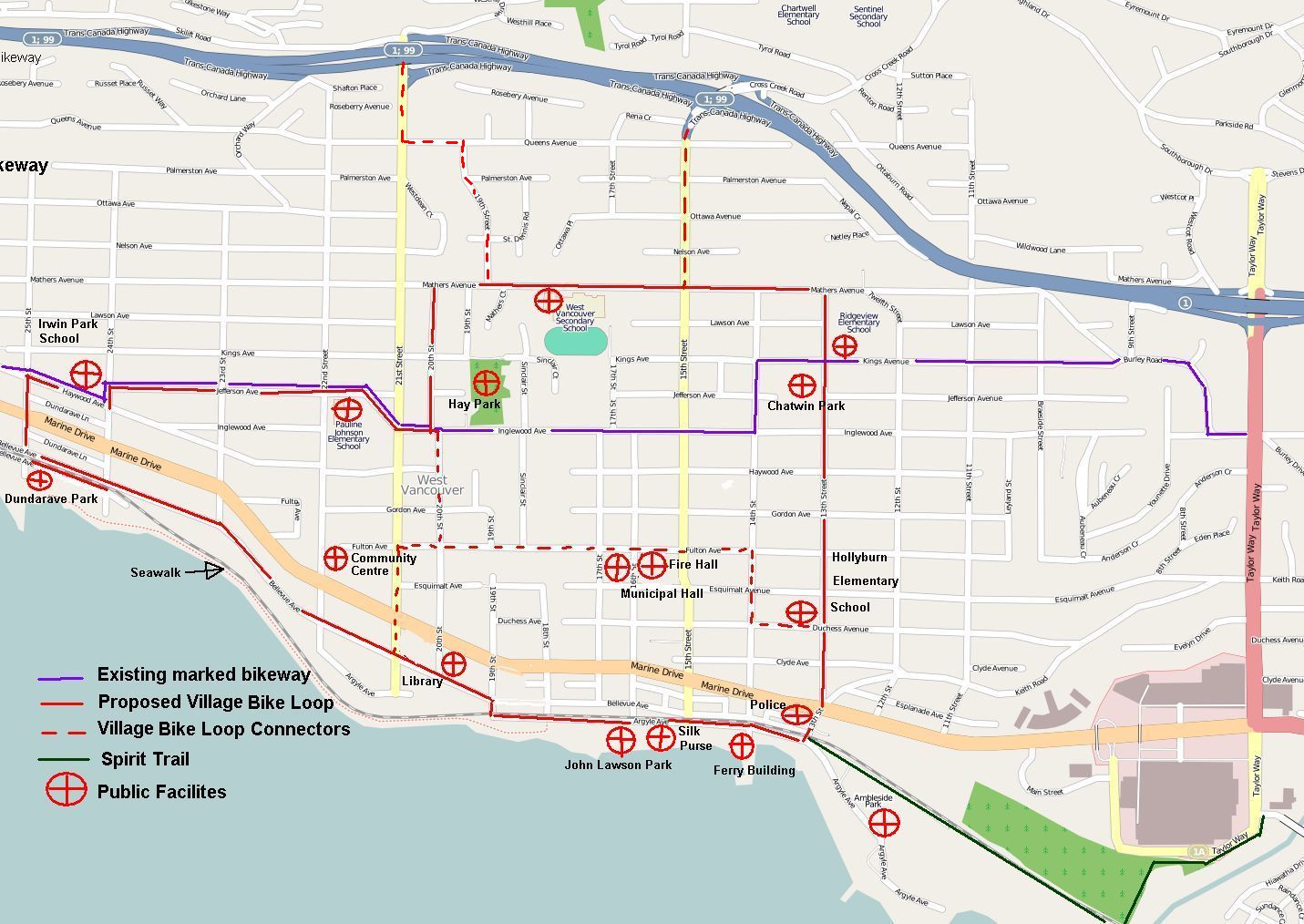
Inspection Ride: January 15, 2011
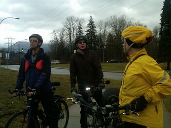
Recap: Jay, John, Heather and Fiona met (sort of) at Phibbs Exchange at the North end of the Iron Workers Memorial Bridge to inspect and document the routes south and northbound on the bridge as well as surrounding paths and signage up to and off the bridge. We will document the bridge ride under the IWMB page in HotSpots and make recommendations there as well.
Following the bridge inspection we split into teams to document signage and roadway infrastructure from Main and Mountain Highway along the designated Mountain Highway Bike Route. We learned that the route actually follows ArborLynn at the junction where Mountain Highway turns left and ArborLynn veers right. We took many photos to show either good infrastructure and signage, or a lack of infrastructure so that we can provide the District of North Vancouver with the entire route showing how it can be re-worked to make it more clear, using information from our ride. A lovely hot chocolate courtesy of John capped off a great day. Then it rained : )
Group Ride: July 15, 2010
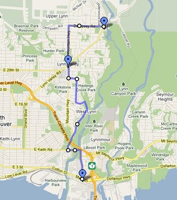
Recap: Anita, Antje, Bill, Dave, Dianne and Jay showed up for a ride through Lynnmour. We left at 6:30pm from the Mountain Equipment Co-op store and went east on the new bike lane on Main St and followed the signed bike route via Harbour and Barrow. Then we rode up to Capilano University via Orwell St, Fern St and crossed under Hwy 1 at the Lynn Creek bridge. Continued up to the university via Old Lillooet and Lillooet Rd. We had a long stop and discussion about the planned Seymour Greenway and rode from campus through some brambles along the planned greenway route under the power line to check out the steep hill north of campus.
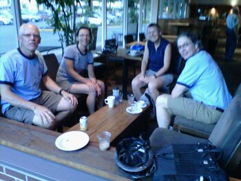
At the cemetery Dianne discovered she had a flat (from the brambles?) and a broken spoke. She arranged for a pickup. The rest of us went back down to Main St via the Hwy 1 on and off ramps. This is legal and the fastest way to get to Second Narrows, but MoT doesn't sign it because they don't want to encourage cyclists to ride the shoulder. It's marked on the Translink bike map though. We finished the ride with a coffee at Park & Tilford.
Group Ride: June 17, 2010
- Bill and Jay took a nice ride from Park Royal to Edgemont along streets, trails, tunnels and overpasses.
Group Ride: May 20, 2010
- Ride around the proposed Village Loop Trail in West Vancouver
- Leaving from Artigiano's on the south side of Park Royal at 6:00pm
Route and Objective
- Description of the route and link to Google Map plus why this route was chosen (what to watch for)
Recap
- Only Dave and I showed up for the ride. Bill dropped by to chat but could not join us on the ride. We checked out several of the Hot Spots (Bridge Ambleside/Park Royal and Spirit Trail at 13th/West Van) then opted to wait for those more closely associated with the Village Loop trail on later ride. Instead we rode up the west shore of the Capilano to the Fullerton Ave bridge, across the trail to Tatlow, walked up the "Chicken Walk" and rode Keith to the connector trail at 23rd, stopped and visited Bill at his place, tried his electric assist bike, then rode up Lloyd to the UL trail to Westview, across to 25th and along my route to William and 29th. A lot of topics were discussed and issues uncovered - fodder for some more pages on the Wiki. It was a good ride. - Jay MacDonald
