File:0 Map3 west anotated.png
Revision as of 21:02, 2 March 2024 by Ruebenschulz (talk | contribs)
Size of this preview: 800 × 478 pixels. Other resolutions: 320 × 191 pixels | 1,516 × 906 pixels.
Original file (1,516 × 906 pixels, file size: 1.08 MB, MIME type: image/png)
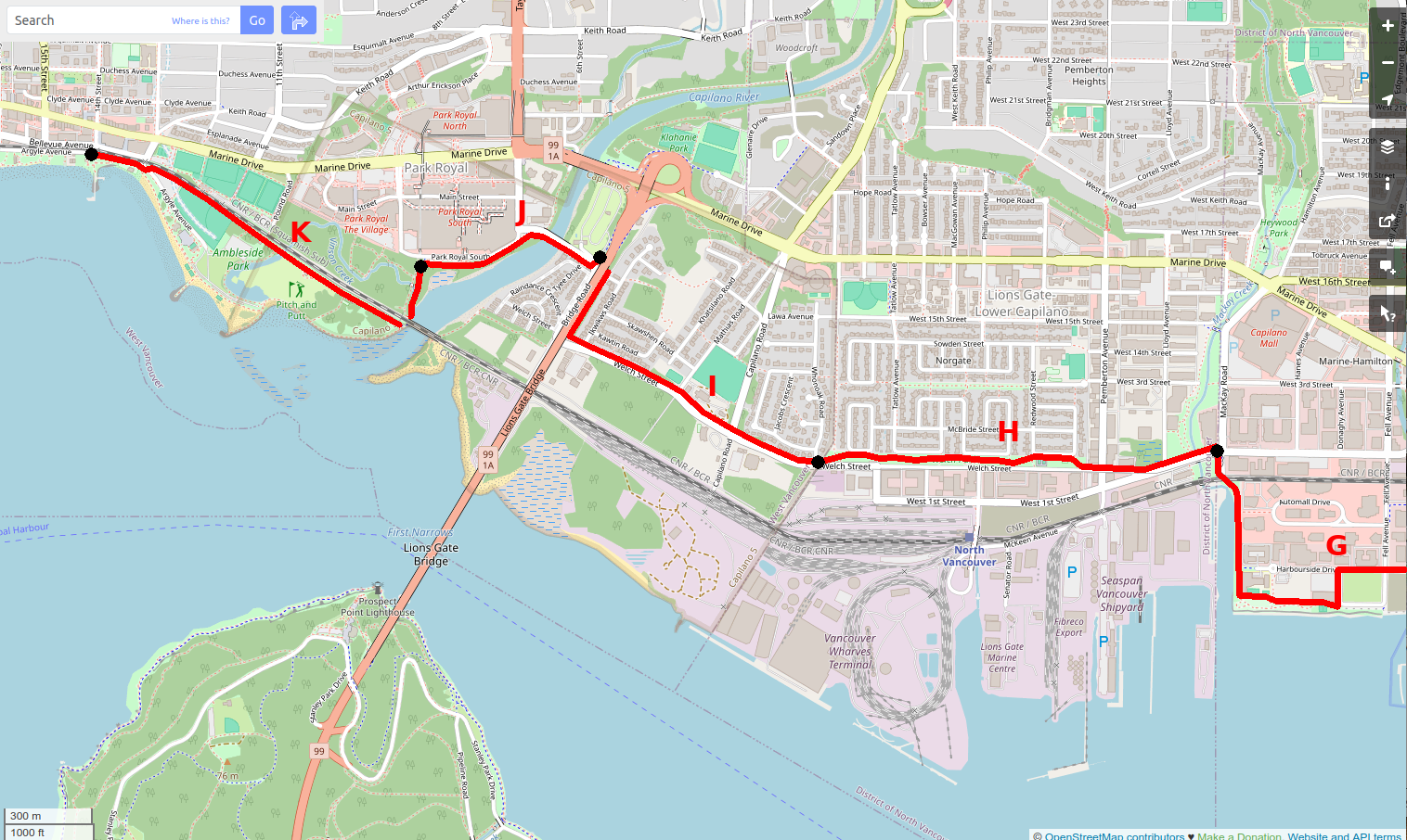
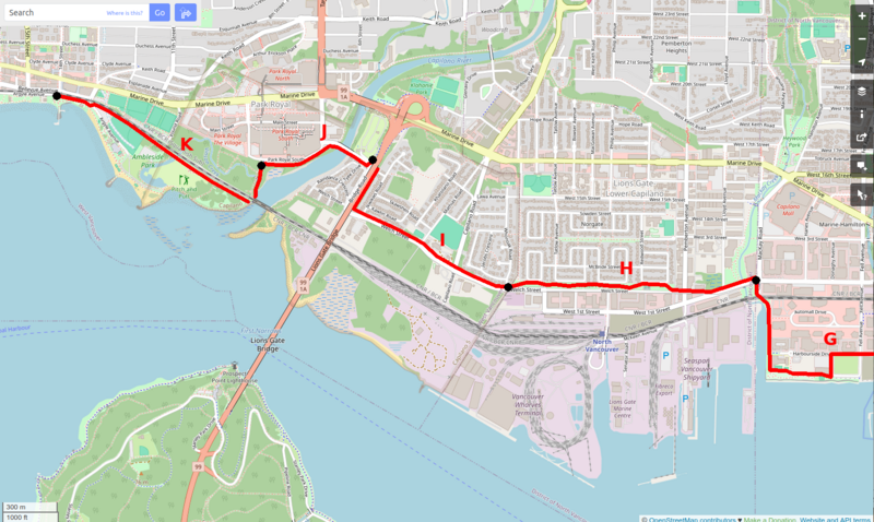
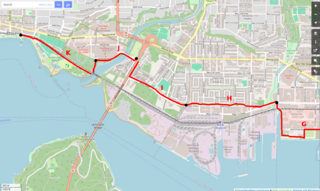
Map of the west end of the Spirit Trail, showing sections G to K.
File history
Click on a date/time to view the file as it appeared at that time.
| Date/Time | Thumbnail | Dimensions | User | Comment | |
|---|---|---|---|---|---|
| current | 21:02, 2 March 2024 | | 1,516 × 906 (1.08 MB) | Ruebenschulz (talk | contribs) |
You cannot overwrite this file.
File usage
The following page uses this file: